
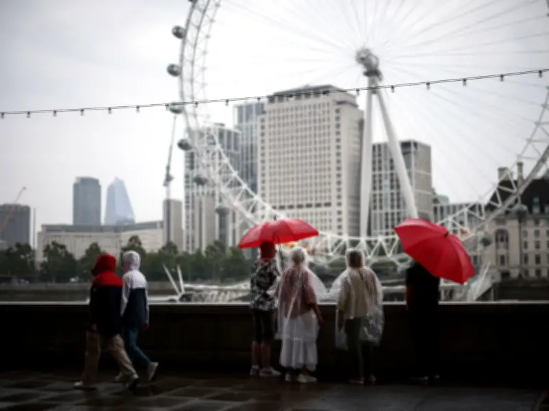
London's prolonged heatwave is set to come to an abrupt halt next week, with forecasters predicting four consecutive days of rain beginning on Friday, July 17. According to BBC Weather, light showers and drizzle will hit the city from around 4pm on that day and persist until at least Monday night, July 20.
Rainy Spell to Follow Scorching Temperatures
The wet weather will replace several days of intense heat, with meteorologists forecasting six consecutive days of 30C+ temperatures starting from July 6. Temperatures are expected to remain sky-high until Tuesday, July 14, when they will drop below 28C. This marks the third heatwave of the year, following a record-breaking 36.4C during the previous one.
During the rainy period, thermometers will hover around 26-27C during the day, dropping to 16C overnight. While still warm, conditions will be significantly less dry and bright than recent weeks. The sun may attempt to break through between patches of light cloud, but overall, umbrellas will be required for several days in a row.

Urban Heat Island Effect Amplifies London's Heat
London has been particularly affected by extreme weather due to the Urban Heat Island (UHI) effect, which can make the city feel up to 10 degrees hotter than surrounding areas because of building density. This phenomenon has exacerbated the impact of the heatwave, with Londoners seeking shady areas and air conditioning as thermometers hit 30C+.
Deputy Chief Forecaster Steven Keates of the Met Office commented: "Temperatures this week are not expected to reach the highs we witnessed last month, though parts of southern England in particular are likely to see several days in the low 30s Celsius, and a few places could reach 34-35C later this week." He added that night-time temperatures will not be as high as in June, though some larger urban areas may remain in the high teens Celsius overnight, with a chance of a tropical night (where temperatures do not fall below 20C) in a few places.
Broader UK Heatwave and Marine Heatwave Concerns
Conditions across the UK are expected to be less humid than June, with lower peak temperatures and fewer exceptionally warm nights, according to the Met Office. Much of England and Wales will be hot, with the heat extending to parts of Scotland and Northern Ireland, though peak temperatures there are more likely to be in the upper 20s Celsius. Keates advised: "With high UV and high temperatures, people should take the usual precautions with the heat and the sun."
The Met Office previously raised the possibility of an 'extreme' Category 4 marine heatwave. Sea-surface temperatures are about 1.5-4C above normal in waters around much of the English and Welsh coastlines, the English Channel, and the central and southern North Sea. These waters will have limited opportunity to cool amid this week's heatwave, affecting wildlife and ecosystems.
Londoners can find a map of free air-conditioned places to keep cool on MyLondon.