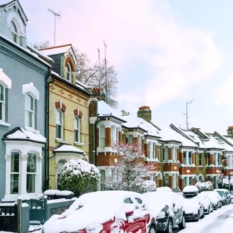
London is on high alert as advanced weather modelling predicts a dramatic four-day blizzard, with three consecutive storms threatening to blanket the capital in up to 20 inches of snow. The severe wintry spell is forecast to commence on February 11, bringing disruptive conditions across the United Kingdom.
Triple Storm Onslaught Targets the Capital
The Global Forecast System (GFS) weather model indicates that nearly all regions of England, Wales, Scotland, and Northern Ireland could experience significant snow flurries during this period. Snowfall is expected to begin on February 11, with initial accumulations likely in cities such as Manchester and Glasgow by mid-afternoon.
First Wave: Southern England in the Crosshairs
Weather maps suggest heavy snow could descend across southern parts of England around 6am on February 12, directly targeting London and Bristol. Simultaneously, further snowfall is anticipated over Scotland, setting the stage for widespread disruption.
Second Front: Nationwide Snow Coverage
A second weather front is forecast to strike the UK on February 13, with Northern Ireland and Wales experiencing the most intense snowfall around 3am. Major urban centres including London, Birmingham, Manchester, Liverpool, Cardiff, and Glasgow could all witness significant snow accumulation at this time.
The snow is then predicted to shift eastward across the country, with maps indicating the heaviest flurries hitting the Midlands and south-east around 9am. Once again, the capital appears set for substantial wintry showers.
Third Blizzard: Continued Arctic Assault
A third blizzard could follow just a day later, sweeping across the UK and once more targeting major cities including London around 3pm. By the conclusion of this four-day period, meteorological projections suggest almost every corner of the country could experience some snowfall.
Projected Snow Accumulations Across the UK
Snow coverage maps indicate that by 9pm on February 14, only south-west England and certain areas of Wales will remain free of settled snow. Snow depth charts reveal particularly concerning accumulations:
- The Scottish Highlands could see up to 52cm (20 inches) of snow
- Areas of north-west England might experience 21cm (eight inches)
- Central England could see around 13cm (five inches)
- Northern Ireland is expected to receive 3cm (one inch)
- Parts of Wales may see 10cm (four inches)
Met Office Confirms Wintry Hazards
The Met Office has corroborated the potential for significant snowfall in its forecast for February 5 to 14. The national weather service indicates that frontal systems over the Atlantic, steered by a south-shifted jet stream, are likely to approach the UK but may stall as they encounter blocking high pressure to the north and northeast.
"This will result in further spells of rain at times, falling in areas already sensitive to flooding," states the Met Office forecast. "As these bands of rain spread northwards, some snow will be possible on high ground in northern England and Scotland as they encounter colder air."
The meteorological agency anticipates a subtle shift southwards of low-pressure areas during the second week of February, which may allow colder air to spread across northern UK, bringing an increased risk of wintry hazards for a sustained period.
Extended Forecast Through Late February
For the remainder of February, the Met Office notes that while confidence is lower, a south-shifted jet stream is likely to persist, steering areas of low pressure towards and south of the UK. This pattern is expected to bring further spells of wet and windy weather, with rain most frequent in the south and west, and perhaps eastern Scotland.
"Some hill snow will be possible at times as the wet weather encounters colder air across northern parts of the UK," adds the forecast. "Temperatures for the period as a whole will likely be close to average in the southwest, but a little below in the northeast."
Londoners are advised to prepare for potentially severe travel disruption, school closures, and increased demands on emergency services as this unprecedented triple-storm system approaches the capital.


