
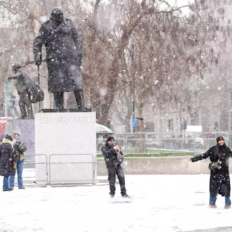
Met Office Issues Warning as Snow and Freezing Temperatures Return
The Met Office has issued a significant weather warning for the United Kingdom this week, predicting a dramatic return to winter conditions with snowfall and plummeting temperatures. Forecasters indicate that spring has been abruptly put on hold as a sudden cold snap grips the nation, bringing what Deputy Chief Forecaster Steven Keates describes as "quite a shock to the system."
Sudden Temperature Plunge and Widespread Snow Predictions
According to the latest meteorological data, temperatures are expected to drop sharply, potentially reaching as low as -5 degrees Celsius in some areas, particularly in rural Scotland. This represents a stark contrast to the warmer spring days experienced just last week. The Met Office emphasizes that Wednesday will feel "markedly colder" across the country, with snow likely to blanket higher ground in northern regions.
Both the Met Office and BBC forecasters concur that snow is on the horizon for Wednesday, accompanied by rain, sleet, and hail showers that could occur "potentially quite widely." The BBC specifically notes that Wednesday will be a "chilly and windy day with sunny spells and showers, these wintry over the hills." While low-lying areas may see some sunshine, the overall conditions will feel intensely cold due to significant wind chill factors.

Detailed Forecast for the Coming Days
Looking at the immediate forecast, temperatures are expected to fall again heading into Wednesday evening, with the mercury potentially plunging to -5C overnight in parts of rural Scotland. Thursday should bring drier conditions with sunny spells for most places, though cloud and rain will push into Northern Ireland and western regions later in the day.
The Met Office indicates that temperatures will return closer to seasonal averages from Friday onward, though additional weather systems may affect the UK during the weekend, most likely impacting northern areas. The forecast for March 28 to April 6 suggests "changeable" conditions as "frontal systems move across the UK, bringing rain and stronger winds at times."
Weather fronts are predicted to be more active across northern areas, making these regions more susceptible to the wettest and windiest conditions. As these systems move southward, they often encounter a ridge of higher pressure extending from the southwest, which typically weakens frontal systems and reduces rainfall amounts. In this meteorological setup, temperatures are expected to remain close to average overall, with some overnight frost possible where skies remain clear and winds are light.
This sudden weather shift serves as a reminder that winter conditions can persist well into the spring months, requiring continued vigilance regarding travel plans and outdoor activities. The Met Office advises residents to stay updated on local forecasts and prepare for potentially hazardous driving conditions in affected areas.


