
The United Kingdom is bracing for yet more relentless rainfall as the Met Office issues stark warnings, with forecasters stating there is "no end in sight" to the downpours that have lashed the country every single day so far in 2026. This persistent wet weather follows a stormy January that saw parts of England and Wales experience a staggering 50% more rainfall than the seasonal average, setting a gloomy tone for the year ahead.
Yellow Rain Warnings in Force Across Multiple Regions
A yellow rain warning remains in effect for the West Midlands, along with extensive areas of southern England and Wales, valid until 9pm on Friday. The Met Office has highlighted significant risks, including potential flooding of homes and businesses, disruptions to power supplies, and surface water flooding due to the already saturated ground conditions. In South West England and South Wales, where rainfall has been particularly excessive, forecasters predict that daily rain will continue unabated through to Sunday, exacerbating the already challenging situation.
Forecasters Predict Continued Unsettled Conditions
Dan Stroud, an operational meteorologist with the Met Office, emphasised the bleak outlook, noting, "Unfortunately, there's no end in sight." He explained that another band of rain is expected to move northwards from the South West on Friday, bringing heavy bursts that could lead to further flooding incidents. The pattern is set to repeat on Saturday, with heavy showers initially affecting the south before gradually spreading into Wales and the Midlands.

By Sunday, yet another band of rain is predicted to arrive in the southern and western parts of the UK, though conditions may be slightly drier in other regions. Northern Ireland is also under a yellow rain warning until midnight on Friday, with higher areas potentially facing up to 80mm of rain, while most places can expect around 20mm. In Scotland, persistent cloud and rain will continue to affect the eastern areas, including Aberdeen, adding to the nationwide damp spell.
Record-Setting Gloom and Meteorological Factors
Some regions have experienced record-setting periods of gloom, with one city seeing no sunshine for two weeks—a duration unmatched since records began in 1957. However, there may be a slight reprieve on Saturday, as parts of East Anglia, the South East, and possibly west Scotland could see some brightness breaking through the clouds.
Mr Stroud attributed the persistent wet weather to a large area of high pressure located far to the north and east of the country, which is blocking low-pressure systems from moving through. "Until that area of high pressure sort of shifts out of the way, we're not really going to see much of a change in the forecast," he stated. Additionally, the jet stream positioned far to the south is contributing to the exceptional wet weather, not only in the UK but also in Spain and Portugal.
Impacts and Precautions Amid Ongoing Rainfall
According to the yellow warning covering South West England and parts of Wales, up to 50mm of rain is anticipated in higher elevations, with widespread downpours of around 30mm. This continuous rainfall poses ongoing risks to infrastructure, travel, and public safety, with authorities urging residents to stay informed and take necessary precautions against flooding.
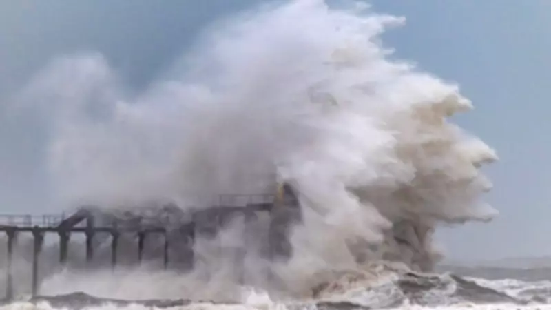
The situation underscores the broader challenges of managing extreme weather events in the UK, as communities grapple with the aftermath of Storm Chandra last month, which caused significant disruptions, including stranded vehicles and coastal damage. As the rain shows no signs of letting up, the focus remains on resilience and preparedness in the face of an increasingly unpredictable climate.


