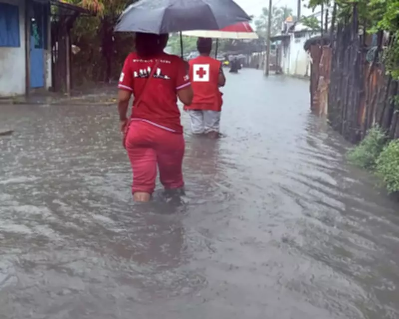
Tropical Cyclone Fytia has unleashed severe devastation across Madagascar, with authorities estimating that more than 40,000 homes could be inundated by floodwaters in the coming days. The storm, which formed over the northern Mozambique Channel last Thursday, represents the island's first tropical system of the season and has already claimed at least three lives, according to preliminary reports.
Widespread Impact and Casualties
Madagascar's national bureau for disaster risk management has issued a provisional assessment indicating that 28,368 people have been directly affected by the flooding triggered by Cyclone Fytia. The storm made landfall over the weekend, moving south-east through northern and central regions of the country, bringing torrential rainfall and destructive winds.
Extreme Weather Conditions
Météo Madagascar recorded average wind speeds exceeding 90 miles per hour, with gusts reaching up to 130 miles per hour as of Saturday. Forecasters had warned that the cyclone could deliver daily rainfall totals of approximately 150 millimetres in the hardest-hit areas, significantly elevating the risks of both flooding and dangerous landslides.
In response to the imminent threat, red alerts have been activated in regions lying directly in the cyclone's path, signalling immediate danger to residents. Mariners have been urgently advised to seek safe harbour, while widespread travel disruption and school closures are anticipated across affected communities.
Continued Disruption Despite Weakening
Although Cyclone Fytia has since weakened into a tropical storm as it traverses the island, meteorological experts caution that significant disruption will persist throughout the week. The combination of saturated ground and ongoing precipitation continues to pose a serious flood hazard to thousands of households.
Contrasting Extreme Weather in Europe
Meanwhile, in a stark meteorological contrast, eastern Europe is bracing for an intensification of extreme cold conditions. Countries including Poland, Ukraine, and Belarus are forecast to experience a severe temperature plunge, with night-time lows potentially dropping below -30°C this week.
This brutal cold spell is being driven by a high-pressure system centred over eastern Scandinavia and a low-pressure area over western Russia, creating an easterly to north-easterly airflow that is channelling frigid air masses across the region. The existing snow cover, which has been reflecting solar radiation and emitting longwave radiation into the atmosphere, is further exacerbating the cooling effect, enabling temperatures to plummet dramatically.
Forecast models predict daytime highs will remain firmly within negative double digits, extending as far west as Berlin, underscoring the extensive geographical reach of this cold wave. This dual hemisphere extreme weather event highlights the diverse and powerful forces shaping global climate patterns.


