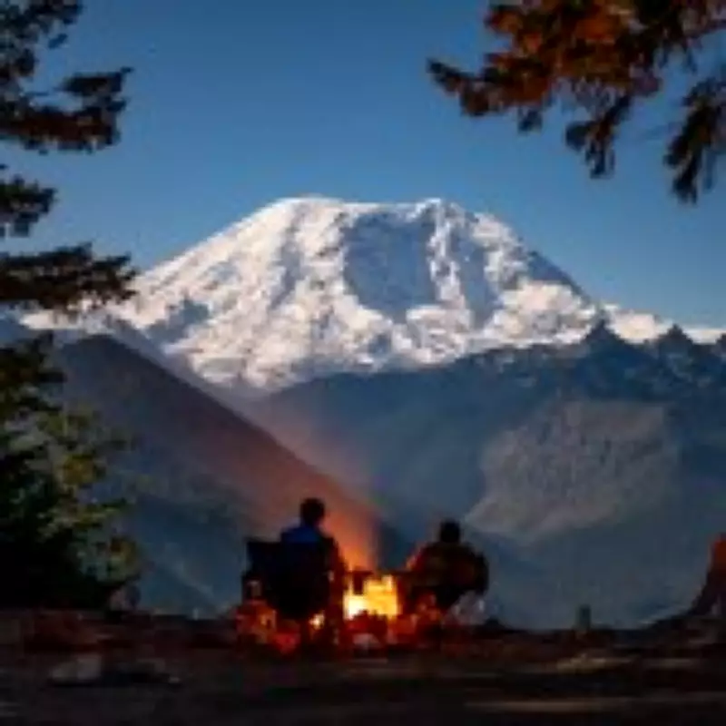
Mount Rainier, standing over 14,000 feet tall in Washington state, is a picturesque landmark in the Pacific Northwest. However, scientists consider it the most dangerous volcano in the United States, not because of an imminent eruption, but due to the risk of lahars—fast-moving mudflows triggered by landslides, heavy rain, or melting snow.
The Lahar Threat
Lahars are torrents of mud, rock, and water that can travel at speeds exceeding 100 mph, growing massive and devastating anything in their path. Mount Rainier's 25 major glaciers contain more snow and ice than all other Cascade volcanoes combined, making it particularly hazardous. Even without an eruption, a 'no-notice' lahar could occur, as former geophysicist Andy Lockhart described it as 'the things that go bump in the night.'
At-Risk Communities
Potential lahar routes extend into Pierce County, home to around 150,000 people. Towns like Orting, Puyallup, and Sumner are among the most vulnerable, with experts estimating that a major lahar could reach them in about 30 minutes, affecting some 60,000 residents.

Historical Precedent
The 1985 Nevado del Ruiz eruption in Colombia unleashed a lahar that killed over 23,000 people in Armero within minutes, highlighting the destructive power of such events. While scientists do not predict an imminent disaster at Rainier, authorities have implemented extensive monitoring and preparedness measures.
Preparedness Efforts
Monitoring equipment across the Cascades detects seismic activity and lahar signs, relaying alerts to emergency responders. In 2024, over 45,000 students and staff from more than 20 schools participated in one of the world's largest lahar evacuation drills, emphasizing the importance of heading to higher ground on foot when time is short.