
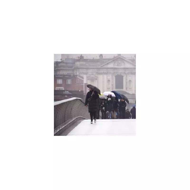
London is set for a remarkably wet spell, with forecasters predicting rainfall on almost every single day for the next fortnight. The capital can expect precipitation on all but one day from today, Friday 9 January, through to Thursday 22 January 2026.
The Forecast: Persistent Rain with a Warmer Trend
According to BBC weather presenters, the persistent damp conditions do come with a significant consolation. Temperatures are predicted to climb steadily over the coming days, offering some respite from the recent bitter cold. By Thursday 22 January, daytime highs in London should reach around 10°C, with overnight lows sitting between 4°C and 6°C.
The detailed outlook for London is as follows:

- Friday 9 January: High of 5°C, low of 1°C with light rain and a moderate breeze.
- Saturday 10 January: High of 4°C, low of -2°C with sunny intervals.
- Sunday 11 January: High of 6°C, low of 5°C with light rain.
- The pattern of light rain and drizzle then continues from Monday 12 January through to Thursday 22 January, with highs generally between 9°C and 12°C.
Storm Goretti Brings Disruption Across the UK
While London faces a prolonged soaking, other parts of the United Kingdom are contending with more severe conditions due to Storm Goretti. The Met Office has issued a total of seven weather warnings, primarily yellow alerts covering the entirety of Scotland, part of Northern Ireland, sections of southern England, and areas of East Anglia.
More seriously, an amber warning for snow is in force for a portion of the Midlands. This higher-level alert indicates a significant risk that some rural communities could become cut off, with a fairly high chance of power cuts occurring. Officials in the West Midlands have consequently warned of potentially the "worst snowfall in a decade."
Parts of England and Wales are preparing for 5-10cm of snow on Friday, with some isolated areas potentially seeing accumulations of 15-25cm.
Emergency Measures and Wider Impacts
The recent intense cold snap prompted London Mayor Sadiq Khan to activate the Severe Weather Emergency Protocol (SWEP). This critical measure ensures that additional emergency accommodation is made available to protect rough sleepers from the dangerous conditions.
The contrasting weather across the nation highlights a sharp divide this January: a sodden but gradually warming capital versus regions battling disruptive snow and icy winds. Residents are advised to stay updated with the latest Met Office weather warnings for their area and plan journeys accordingly, especially in amber warning zones where travel disruption is likely.


