
The United Kingdom is facing a renewed bout of severe winter weather this weekend, with the Met Office issuing a series of yellow warnings for snow and ice across vast swathes of the country. This comes in the wake of Storm Goretti, which on Friday brought disruptive gales, heavy rain and snow, leaving tens of thousands of households without electricity.
Widespread Disruption from Storm Goretti
On Friday, Storm Goretti swept across the UK, delivering a potent mix of conditions that caused significant disruption. The most severe impact was widespread power cuts, with the National Grid reporting approximately 34,000 homes were without power in the South West around 10pm. Further outages affected around 2,000 properties in the West Midlands, over 1,000 in the East Midlands, and about 130 in Wales.
The storm's gale-force winds brought down trees, with one falling onto a house in Falmouth, Cornwall. Transport was also hit, with some flights cancelled and dramatic footage emerging of a passenger plane battling strong gusts as it landed at Heathrow Airport.

Fresh Warnings for a Cold Weekend
As Storm Goretti moves away eastwards, a new threat is emerging. The Met Office has warned that a blast of cold air will move in overnight from Friday into Saturday, bringing a severe frost and icy stretches on untreated surfaces.
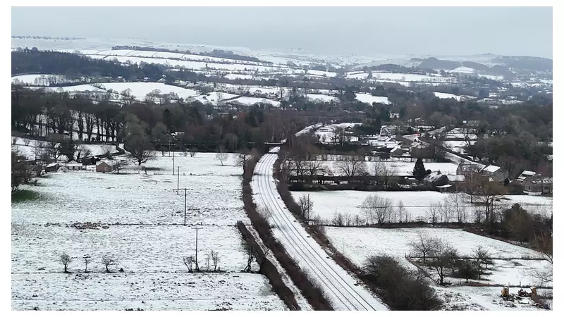
Yellow weather alerts for ice are in place for large parts of England's South, West, North West, the East Midlands, and Wales until midday on Saturday. Separate yellow warnings for snow and ice cover most of Scotland and parts of northeast England until 3pm Saturday, and all of Northern Ireland until 11am Saturday.
Sky News Weather presenter Jo Wheeler stated: "The cold air returns with a severe frost expected tonight along with icy stretches on untreated roads and pavements." Saturday daytime will be sunnier and drier for many, but temperatures will remain low, hovering between 2 to 3C (35 to 37F).
Further Snow Risk on Sunday
The weather picture is set to change again by Sunday. The Met Office predicts that a band of rain will move in from the west during the early hours. As this rain hits the entrenched cold air, it is likely to turn to snow, creating a widespread risk of wintry precipitation.
A yellow warning for snow and ice has been issued from 2am until 3pm on Sunday, covering northern England and virtually all of Scotland. Forecasters predict 10 to 20cm (4 to 8in) of snow could accumulate on higher ground in Scotland, with lighter falls elsewhere.
"Meeting the cold air, there's the potential for some short-lived disruptive snow," Wheeler added. However, milder air is expected to follow, leading to less dramatic conditions next week, though bringing a risk of localised flooding as snow melts. Temperatures could rise to around 10C (50F) in western areas and Northern Ireland on Sunday.
Authorities are urging the public to stay updated with the latest forecasts and travel advice, and to take extra care on icy roads and pavements over the weekend.


