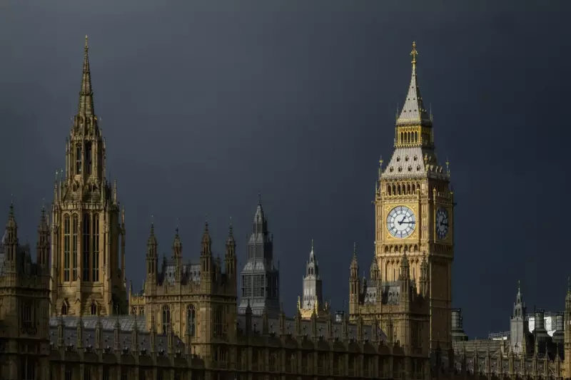
The first named storm of 2026 is poised to sweep across the capital, promising a wet and treacherous start to the new year. Storm Goretti is forecast to arrive from Thursday, January 7, bringing a deluge of rain and powerful winds before ushering in a sharp drop in temperature.
Met Office Issues Yellow Alert for Icy Conditions
Ahead of the storm's main impact, the Met Office has taken the precautionary step of issuing a yellow weather warning for ice across London. This alert highlights the risk of icy patches forming on untreated roads and pavements, creating significant slip hazards for pedestrians and drivers alike. While no further warnings are currently in place for Thursday and Friday, the situation is being closely monitored.
What to Expect as the Storm Arrives
Londoners should brace for persistent and heavy rain throughout Thursday and Friday as Storm Goretti moves directly over the city. The real concern follows the rainfall, with freezing temperatures expected overnight. This combination is likely to lead to widespread icy conditions across the capital as surfaces quickly glaze over.

While significant snowfall is not anticipated for London itself, forecasters note that other regions of the UK, particularly areas of higher ground, could see snow settle. The capital's immediate threat remains ice and standing water.
A Cold and Sleet-Laden Weekend Ahead
Although the weekend may offer some brief brighter intervals, the wintry theme is set to continue. Forecasts currently indicate that sleet is likely to fall overnight into Sunday, ensuring a chilly and damp conclusion to the week. Residents are advised to plan journeys carefully, allow extra time for travel, and take precautions on footpaths during the frosty periods.