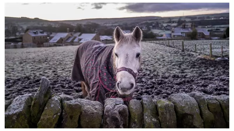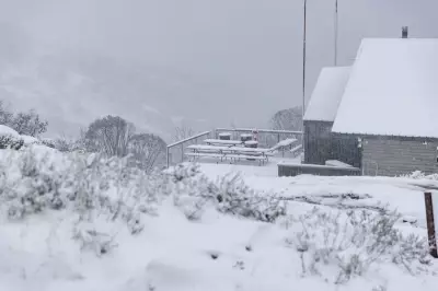
Forecasters are warning of a chilly start to 2026 for the United Kingdom, with significant snowfall expected to blanket large parts of the country. The Met Office has issued a series of yellow weather warnings, alerting the public to potential hazards from snow and ice.
Widespread Warnings for Snow and Ice
The national weather service has placed a yellow warning for snow and ice across extensive areas of England and Wales. This alert is active from midnight until noon on Friday, 2 January 2026. Within this zone, some regions could see accumulations of up to 5cm, with higher ground in North Wales and northwest England most at risk.
Separate warnings are in force for other parts of the UK. Northern Ireland is under a yellow warning from midnight until 10am on Friday. Meanwhile, northern Scotland faces a more prolonged and severe alert, active from 6am on New Year's Day (Thursday) through to the end of Friday.
Significant Snowfall Forecast for Scotland
The most severe conditions are anticipated north of the border. The Met Office states that parts of northern Scotland could see between 10cm and 20cm of snow accumulating widely. On the highest routes and hills, this could increase to as much as 30cm.
Forecasters have highlighted additional dangers due to the accompanying wind strength. They say significant drifting of the settled snow is "likely," and that lightning "may well be an additional hazard," creating potentially treacherous conditions.
Travel Disruption Expected
The incoming cold snap is predicted to impact transport networks as 2026 begins. The Met Office is urging people who need to travel to prepare for longer journey times by road, bus, and train. Icy patches and reduced visibility from falling snow are likely to slow travel significantly.
This developing weather situation serves as a reminder for the public to stay updated with the latest forecasts and travel advice from relevant authorities as the new year arrives.


