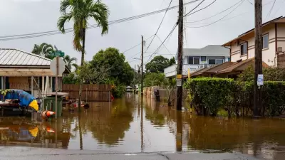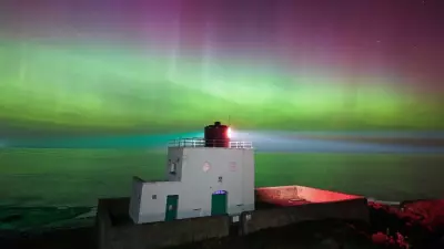
As Storm Goretti batters the UK with winds of up to 100mph, a rare red warning for "dangerous, stormy" conditions has been issued across vast swathes of the country. The Met Office has activated a staggering nine separate weather warnings, covering parts of England, Wales, and all of Scotland and Northern Ireland. Yet, amidst this widespread disruption, the capital has once again managed to sidestep the most severe alerts.
The London Weather Shield: Urban Heat and Latitude
Meteorologists point to a combination of geographical and man-made factors that frequently insulate London from the worst of the nation's weather. Jim Dale, a senior meteorologist at British Weather Services, highlighted the dual role of the city's status as an "urban heat island" and its southern latitude.
"London is an urban heat island even in the winter time; it is normally a degree or so less cold," Dale explained. He noted that in the current scenario, the lack of snow warnings for the capital is "more down to the latitude than it is anything else." London's position, coupled with warmth radiating from its vast concrete landscape, creates a microclimate that is often slightly milder than surrounding regions.
Dale also referenced the city's proximity to the North Sea and the English Channel, which can inject additional mildness depending on wind direction. He firmly dismissed the idea that local pollution levels were a significant factor, citing improvements since the introduction of the Ultra Low Emission Zone (ULEZ).
Met Office Perspective: The Battle of the Air Masses
Craig Snell, a Met Office forecaster, provided a complementary explanation, focusing on the dynamics of the storm itself. He clarified that warnings are primarily issued for areas expecting the most significant disruption, not merely where snow might fall.
"The reason why the snow warning stops just to the north and west of London is all down to the battle between the cold air currently across the UK and milder air trying to come in from the Atlantic," Snell stated. This clash of air masses is currently positioning the heaviest snow and most impactful weather just beyond the capital's borders.
A Note of Caution for Londoners
Despite the absence of formal warnings, Snell did not rule out the possibility of some wintry precipitation for London. He advised that the forecast remains fluid and could change.
"Our current thoughts are that the slightly milder air will make inroads across southern counties which will generally mean precipitation will fall mainly as rain in London," he said. "Saying that, we could see some sleet and wet snow... with the higher ground across the north and west of London probably most prone to this."
He emphasised that any accumulations are expected to be slight, but urged the public to stay updated with the latest forecasts as the situation develops. The arrival of Storm Goretti on 8 January 2026 serves as a potent reminder of the UK's volatile weather, even for a city that often seems to enjoy its own unique meteorological rules.


