
Australia is confronting a severe and multi-faceted weather crisis as 2025 draws to a close, with major flooding, extreme fire danger, and an approaching cyclone threatening different parts of the continent simultaneously.
Queensland Floods: A Dynamic and Dangerous Situation
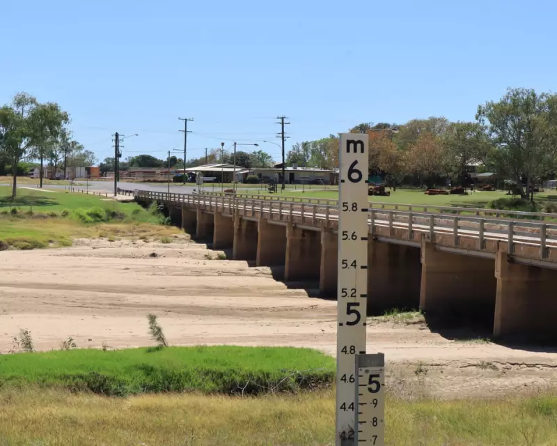
Northern Queensland remains on high alert as intense rainfall continues to batter the region. The Bureau of Meteorology (BoM) has described the flood situation as "dynamic", with a slow-moving monsoon trough and low-pressure system forecast to deliver further heavy falls. Forecaster Jonathan How warned of additional rainfall of 50mm to 100mm across the north-west and 50mm to 150mm along the north-east tropical coast.
This follows widespread, intense rain on Sunday and into Monday morning. Some of the most dramatic totals were recorded at South Mission Beach, which received a staggering 369mm in the 24 hours to 9am. Other areas between Innisfail and Ingham saw 100mm to 200mm, while the gulf coast to Cloncurry recorded 50mm to 100mm.

The immediate risk is from flash flooding and rapid creek rises, particularly in north-western Queensland, the tropical north-east coast, and parts of the Northern Territory. How emphasised these conditions could "cause disruption to communities and travellers, as well as threaten lives, property and agriculture, including livestock and cattle".
A major flood warning is current for the Flinders River, with moderate warnings for the Cloncurry and Western rivers. The Queensland State Emergency Service responded to 34 calls in the past 24 hours. Deputy Commissioner Chris Stream revealed crews had conducted food and medication drops for tourists caught off guard in the Three Rivers area near Cloncurry.
Extreme Fire Danger and a Cyclone on the Horizon
While Queensland deals with deluges, South Australia is facing the opposite threat. An extreme fire danger has prompted total fire bans for the Mount Lofty Ranges and eastern Eyre Peninsula, with Adelaide forecast to reach 38C on Monday. The SA Country Fire Service reported elevated danger across much of the state, with active fires at Second Valley, Blanchetown, and Meningie, urging residents to stay alert.
Meanwhile, off the west coast, Tropical Cyclone Hayley is tracking towards the Western Australian coastline. The system is expected to cross as a category-one cyclone near the Dampier Peninsula early on New Year's Eve. "As the tropical cyclone makes landfall … we can expect to see heavy rain, possibly damaging winds, and we will also see a storm surge develop along the coastline," said How.
On Monday morning, Cyclone Hayley was located about 465km north-west of Broome, packing winds of 85km/h near its centre with gusts up to 120km/h. A watch zone is in effect from Broome to Cockatoo Island, including Derby.
A Nation Grappling with Climate-Fuelled Extremes
This concurrent barrage of extreme weather events underscores the challenges posed by a changing climate. The Bureau of Meteorology notes that Australia's national annual average temperature is now about 1.5C higher than it was in 1910. Scientific consensus holds that the climate crisis is increasing the frequency and severity of such events, including heatwaves, bushfires, and intense rainfall leading to flooding.
As authorities across multiple states coordinate responses, the contrasting threats—from waterlogged plains in the north to tinder-dry landscapes in the south and a swirling cyclone in the west—paint a stark picture of a continent on the frontline of climatic volatility.


