
Scientists have unveiled the most detailed picture yet of the vast, mysterious landscape hidden beneath Antarctica's colossal ice sheet, a breakthrough that could transform our understanding of how the frozen continent responds to climate change.
A Landscape More Unknown Than Mars
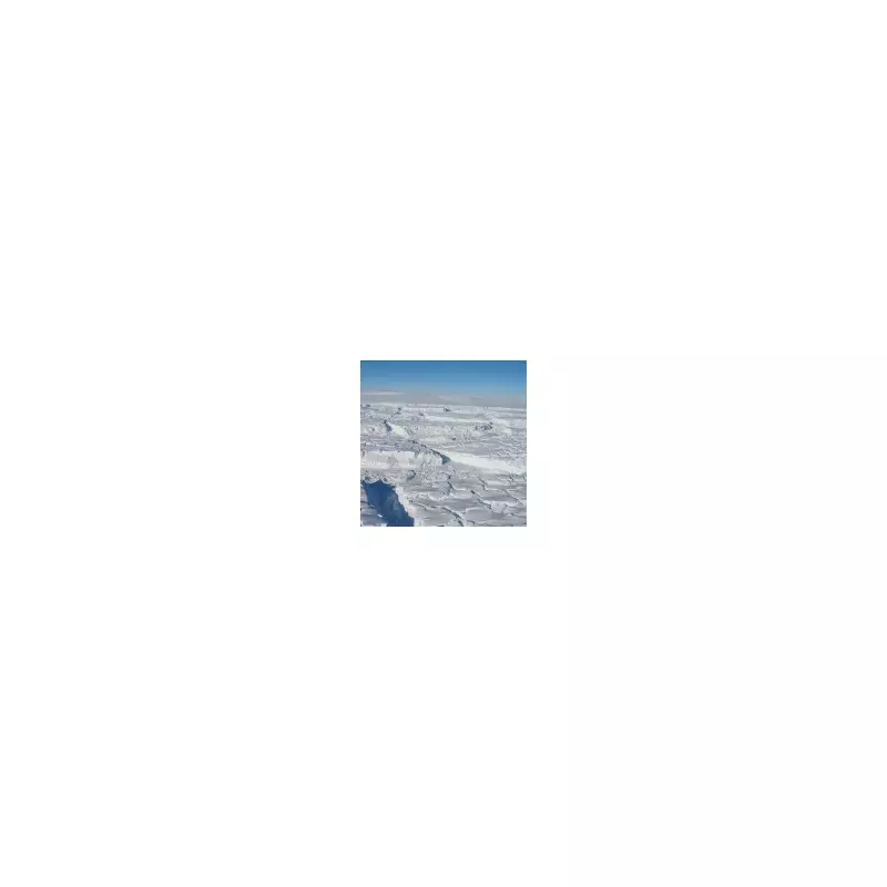
While the surface of Mars is meticulously charted, the terrain beneath Earth's largest single ice sheet—spanning more than five million square miles—has remained largely a blank space. Now, an international research team has used innovative techniques to peer through miles of ice, discovering evidence of previously undiscovered mountain ranges, deep canyons, and lakes.
The study, published in the journal Science on 16 January 2026, was led by researchers from the University of Edinburgh. They employed a novel method called Ice Flow Perturbation Analysis (IFPA), which uses satellite data on ice surface changes and the physics of ice flow to infer the hidden bed topography below.

Revolutionary Mapping Technique
This approach has revealed tens of thousands of new hills and ridges, providing far greater detail than traditional radar surveys. Professor Robert Bingham, a glaciologist at the University of Edinburgh and co-author of the study, expressed his amazement.
'I’m just so excited to look at that and just see the whole bed of Antarctica at once,' he said. 'Over millions of years Antarctica’s ice sheet has sculpted a landscape consisting variously of flat plains, dissected plateaus and sharp mountains, all hidden under the present miles-thick ice cover.'
He added that the technique allows scientists to observe the distribution of these highly variable landscapes across the entire continent for the first time.
Implications for Predicting Future Change
The primary importance of this discovery lies in its potential to improve climate models. Understanding the shape of the bedrock is crucial for predicting how the overlying ice sheet will flow, melt, and change in a warming world.
Lead author Dr Helen Ockenden from the University of Grenoble-Alpes told the BBC that exploring these new landscapes was 'super interesting,' drawing a parallel to the excitement of seeing the first detailed maps of Mars.
While the new maps, created from satellite data, are not the final word on what lies beneath, researchers agree they represent a monumental leap forward. This clearer picture of Antarctica's hidden bedrock is a vital tool for experts striving to forecast the continent's future and its impact on global sea levels.


